

Introduction
The world map is more than just a visual representation of our planet; it serves as a gateway to understanding the intricate tapestry of geography, culture, and history. From the majestic peaks of the Himalayas to the vast deserts of the Sahara, the world map encapsulates the diversity of landscapes, peoples, and experiences that make up our global community. In this article, we will delve into the significance of the world map, its various types, and its evolution over time.
The Importance of World Maps
World maps play a crucial role in education, navigation, and cultural awareness. They help us understand our place in the world and how different regions interact with one another. Here are some key reasons why world maps are essential:
1. Navigational Aid
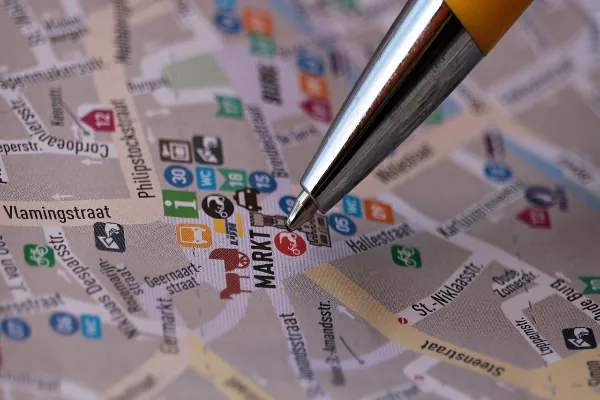
Historically, maps have been used for navigation. From ancient mariners relying on celestial navigation to modern GPS technology, maps guide us in our journeys. Understanding the layout of continents, countries, and cities is fundamental for travelers and explorers alike.
2. Geographical Understanding
World maps allow us to visualize the Earth’s physical features, including mountains, rivers, and climate zones. This knowledge fosters an appreciation for the planet’s natural beauty and biodiversity, which is essential for environmental conservation efforts.
3. Cultural Awareness
Maps are also cultural artifacts. They reflect how societies view themselves and their place in the world. Different maps can highlight cultural landmarks, languages, religions, and historical events, enriching our understanding of global diversity.
4. Historical Context
Maps are snapshots of history. They reveal how borders have changed over time, the rise and fall of empires, and the exploration of new territories. Studying historical maps helps us comprehend the geopolitical landscape and the factors that shape it.
Types of World Maps
World maps come in various forms, each serving a unique purpose. Here are some of the most common types:
1. Political Maps
Political maps display the boundaries of countries, states, and cities. They often use color coding to differentiate between regions and show major political divisions. These maps are vital for understanding global governance and international relations.
2. Physical Maps
Physical maps emphasize natural features such as mountains, valleys, rivers, and lakes. They use different colors and shading to indicate elevation and terrain, providing insight into the Earth’s physical characteristics.
3. Topographic Maps
Topographic maps are detailed representations that show elevation and landforms using contour lines. These maps are essential for hikers, geologists, and anyone interested in land-use planning and environmental management.
4. Thematic Maps
Thematic maps focus on specific themes or subjects, such as population density, climate zones, or economic activities. These maps provide valuable information for researchers, policymakers, and businesses.
5. Historical Maps
Historical maps depict the world as it was understood at different points in time. They offer insights into historical events, trade routes, and territorial changes. Studying these maps can enhance our understanding of world history.
The Evolution of World Maps
The art and science of cartography have evolved significantly over the centuries. Here’s a brief overview of key milestones in the development of world maps:
1. Ancient Maps
The earliest known maps date back to ancient Babylon, where clay tablets depicted the surrounding regions. Ancient Greeks, such as Ptolemy, made significant contributions to cartography, laying the groundwork for future map-making techniques.
2. Medieval Maps
During the Middle Ages, European maps often reflected religious beliefs rather than geographical accuracy. The T-O map, for instance, portrayed the world as a circle divided into three continents, with Jerusalem at the center.
3. The Age of Exploration
The 15th and 16th centuries saw significant advancements in navigation and cartography, fueled by the Age of Exploration. Explorers like Columbus and Magellan brought back new knowledge of the world, leading to more accurate maps.
4. Modern Cartography
The 19th and 20th centuries marked the advent of modern cartography, with the introduction of aerial photography and satellite imagery. Today, digital mapping technologies have transformed how we create and interact with maps.
Conclusion
The world map is a powerful tool that reflects the complexities of our planet. It offers insights into geography, culture, and history while serving as a navigational aid for travelers and explorers. As we continue to advance in technology and knowledge, the world map will evolve, providing us with new ways to understand and appreciate our diverse and interconnected world. Whether you are a student, a traveler, or simply an enthusiast of geography, the world map invites you to explore the stories and landscapes that shape our shared human experience.


Leave a Reply